Durmitor & Albania
Duration
9 days
8 nights
Distance
2,180 km
~240 km/day avg
Terrain
Mixed backroads
European Alps
Satisfaction
4.89 / 5
76 rider reviews
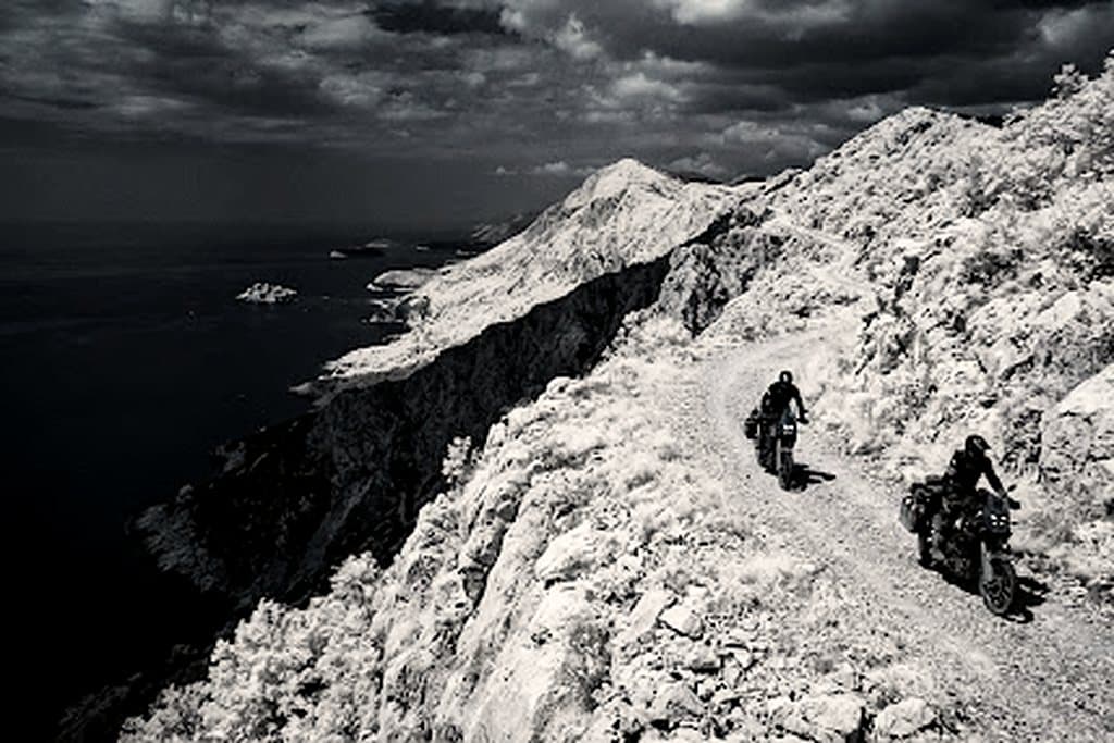
Route overview
Trans-European backroads, Montenegro's Durmitor massif and coastal Albania on mixed terrain.
9 days and 2,180 km of mixed backroads through European Alps, averaging 240 km a day. Fuel gaps, lodging waypoints and evacuation distances are surveyed stage by stage.
Surveyed telemetry
GPX tracks, fuel gaps and lodging waypoints for all 2,180 km.
Evacuation cover
Satellite SOS coverage mapped per stage, with nearest clinic distances documented.
Route log
+6,540 m cumulative · 11.4% steepest
Arrival & machine check
European Alps gateway · 440 km
Fleet handover, luggage fitting and a shakedown loop before the route leaves European Alps.
Opening sector
Durmitor & Albania stage 2 · 440 km
Roughly 440 km of mixed backroads, with fuel and lodging waypoints at both ends of the stage.
Mid-route pass
Durmitor & Albania stage 3 · 440 km
Roughly 440 km of mixed backroads, with fuel and lodging waypoints at both ends of the stage.
Remote refuel & wild camp
Durmitor & Albania stage 4 · 440 km
Roughly 440 km of mixed backroads, with fuel and lodging waypoints at both ends of the stage.
Final approach & finish
Durmitor & Albania stage 5 · 440 km
Roughly 440 km of mixed backroads, with fuel and lodging waypoints at both ends of the stage.
Field kit
BMW R 1250 GS
Tubeless spoked rims, heavy-duty crash bars, Heidenau K60 Scout knobbies.
Yamaha Ténéré 700
Rally-biased off-road setup with long-travel KYB suspension and aluminium skid plate.
KTM 890 Adventure R
WP XPLOR suspension for aggressive gravel, low-slung tanks for stability.


Field dispatches
Rider notes
0 notes · Every note is reviewed before publishing.
No approved notes on this route yet. Be the first to leave conditions, fuel gaps or a warning.