Skip to content
MotoAtlasMotoAtlasMotoAtlasMotoAtlas
two_wheelerToursterrainRoutes
routePlan your ridearrow_forwardperson
MotoAtlas

Routes for riders who'd rather take the long way. Surveyed, ridden and written up for touring and dual-sport travel.

  • explore
  • two_wheeler
  • terrain
  • public

Tour categories

  • Alpine high passes
  • Desert & dune crossings
  • Backcountry discovery
  • Coastal fjord traverses
  • Guided dual-sport

Expedition resources

  • Trans-Alpine GPX (demo)
  • Carnet & border crossing prep
  • Technical tire & luggage specs
  • Satellite SOS & wayfinding
  • Safety protocols & evacuation

© 2026 MotoAtlas Expedition Technologies. All rights reserved.

  • Terms of service
  • Privacy policy
  • Route safety disclaimer
  • exploreExplore
  • terrainAtlas
  • routePlan
  • personProfile
Skip to content
MotoAtlasMotoAtlasMotoAtlasMotoAtlas
two_wheelerToursterrainRoutes
routePlan your ridearrow_forwardperson
MotoAtlas

Routes for riders who'd rather take the long way. Surveyed, ridden and written up for touring and dual-sport travel.

  • explore
  • two_wheeler
  • terrain
  • public

Tour categories

  • Alpine high passes
  • Desert & dune crossings
  • Backcountry discovery
  • Coastal fjord traverses
  • Guided dual-sport

Expedition resources

  • Trans-Alpine GPX (demo)
  • Carnet & border crossing prep
  • Technical tire & luggage specs
  • Satellite SOS & wayfinding
  • Safety protocols & evacuation

© 2026 MotoAtlas Expedition Technologies. All rights reserved.

  • Terms of service
  • Privacy policy
  • Route safety disclaimer
  • exploreExplore
  • terrainAtlas
  • routePlan
  • personProfile
Skip to content
MotoAtlasMotoAtlasMotoAtlasMotoAtlas
two_wheelerToursterrainRoutes
routePlan your ridearrow_forwardperson
MotoAtlas

Routes for riders who'd rather take the long way. Surveyed, ridden and written up for touring and dual-sport travel.

  • explore
  • two_wheeler
  • terrain
  • public

Tour categories

  • Alpine high passes
  • Desert & dune crossings
  • Backcountry discovery
  • Coastal fjord traverses
  • Guided dual-sport

Expedition resources

  • Trans-Alpine GPX (demo)
  • Carnet & border crossing prep
  • Technical tire & luggage specs
  • Satellite SOS & wayfinding
  • Safety protocols & evacuation

© 2026 MotoAtlas Expedition Technologies. All rights reserved.

  • Terms of service
  • Privacy policy
  • Route safety disclaimer
Skip to content
MotoAtlasMotoAtlasMotoAtlasMotoAtlas
two_wheelerToursterrainRoutes
routePlan your ridearrow_forwardperson
placeHomechevron_rightDestinationschevron_rightIceland Ring Road & Highlands
New expedition

Iceland Ring Road & Highlands

Iceland is a dual-sport exam: black ash deserts, unbridged glacial rivers and weather that changes every forty minutes. The Ring Road is the easy part — the F-roads are the reason to come.
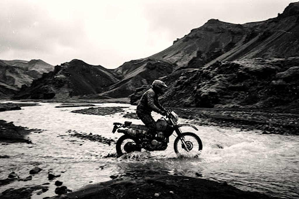
Iceland Ring Road & Highlands
routeRing + F-roads
2,100 km
10 riding days
waterRiver fords
12
unbridged, F-roads
landscapeSurface
Black sand
volcanic ash
calendar_todayPrime window
Jun - Aug
F-roads open

Territory dossier

Route 1 circles the island in roughly 1,330 km of paved road; the highlands add Sprengisandur and Landmannalaugar, where the surface turns to ash and the fords get deep.

River crossings are the crux: check depth at the widest point, walk it first, and never cross alone above 40 cm.

Wind is constant and can open a pannier or a helmet visor without warning. Fuel stations thin out fast once you leave the ring.

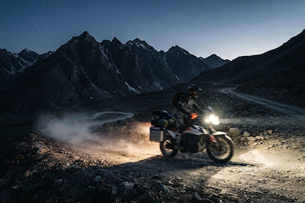
Route highlights

  • check_circleSprengisandur's ash desert between the glaciers
  • check_circleLandmannalaugar rhyolite mountains and hot springs
  • check_circleJökulsárlón glacier lagoon and the south coast black beaches
  • check_circleMidnight sun in June, northern lights from late August

calendar_monthSeasonal windows

  • Jun - AugPrime

    F-roads open, 20h daylight, highest river levels after melt.

  • SepShoulder

    Highland tracks start closing; first snow on the passes.

  • Oct - MayClosed

    F-roads impassable; ring road only, with studded tyres.

Linked expeditions

  • Iceland Highlandscalendar_today10 daysroute2,100 kmarrow_forward
  • Nordkapp Arctic Trailcalendar_today12 daysroute3,150 kmarrow_forward

Terrain gallery

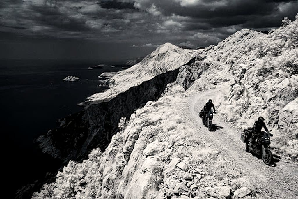
Iceland Ring Road & Highlands — terrain 1
Iceland Ring Road & Highlands — terrain 2
Iceland Ring Road & Highlands — terrain 3

One route worth riding, every week

Open passes, fresh tracks and hard-won lessons. No fluff, no spam.

mail

MotoAtlas

Routes for riders who'd rather take the long way. Surveyed, ridden and written up for touring and dual-sport travel.

  • explore
  • two_wheeler
  • terrain
  • public

Tour categories

  • Alpine high passes
  • Desert & dune crossings
  • Backcountry discovery
  • Coastal fjord traverses
  • Guided dual-sport

Expedition resources

  • Trans-Alpine GPX (demo)
  • Carnet & border crossing prep
  • Technical tire & luggage specs
  • Satellite SOS & wayfinding
  • Safety protocols & evacuation

Waypoint dispatches

New routes, open passes and road intel, once a week.

mail

© 2026 MotoAtlas Expedition Technologies. All rights reserved.

  • Terms of service
  • Privacy policy
  • Route safety disclaimer